Dispersed field sites
Embankments, sluices and protective works under construction across a coastal polder, often without reliable mobile connectivity.

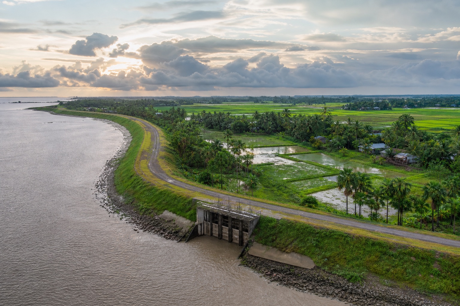 AI-generated representative polder scene · not a project-site photograph
Client case study · BWDB · CEIP-1
For the Coastal Embankment Improvement Project (CEIP-1), Tiger Park built a Tiger One and Sky Hawk-based ICT Monitoring System as ICT sub-contractor to DevConsultants Limited (DevCon) — giving Bangladesh Water Development Board's project management unit real-time, geotagged visibility into embankment construction on Polder 39/2C.
Bangladesh's coastal zone spans over 700 km and is regularly exposed to cyclones and storm surges. CEIP-1, a World Bank-financed programme implemented by BWDB, is rebuilding climate-resilient embankments, hydraulic structures and protective works across 10 coastal polders. For Polder 39/2C under Package-2, the programme's design and construction-supervision consultant needed a faster way to see construction progress and safeguard compliance than periodic paper-based inspection reports could offer.
Bangladesh Water Development Board is CEIP-1's project owner, and DevConsultants Limited (DevCon) is the programme's Detailed Design and Construction Supervision consultant. Tiger Park Limited was engaged as DevCon's ICT sub-contractor to build and support the monitoring system.
Challenge
Embankments, sluices and protective works under construction across a coastal polder, often without reliable mobile connectivity.
Progress and safeguard compliance were tracked through periodic written reports rather than dated field evidence.
Any digital system had to support the FIDIC-based supervising engineer's role, not substitute for it.
Solution
The system combined a role-based web portal and Android app with a BI reporting dashboard, so geotagged field evidence could reach the CEIP-1 PMU and DDCS consultants without waiting for the next paper report.
The Android app timestamps and geotags every progress photo and report, on site.
Submissions store on the device in low-connectivity areas and sync once a connection returns.
Reports are pinned to Polder 39/2C's shapefiles on an interactive map interface.
A multi-level user hierarchy with a full edit trail keeps every change to a submitted report accountable.
Progress by package, district and upazila, with SMS and email alerts to relevant users.
Auto backup and geo-distributed, mirrored failover on an Oracle database, per BWDB IT standards.
Representative management view
The monitoring approach connects management indicators with the evidence behind them. Sky Hawk field submissions can bring a dated site photograph into the same review view as physical progress, financial status, package trends and approval history.
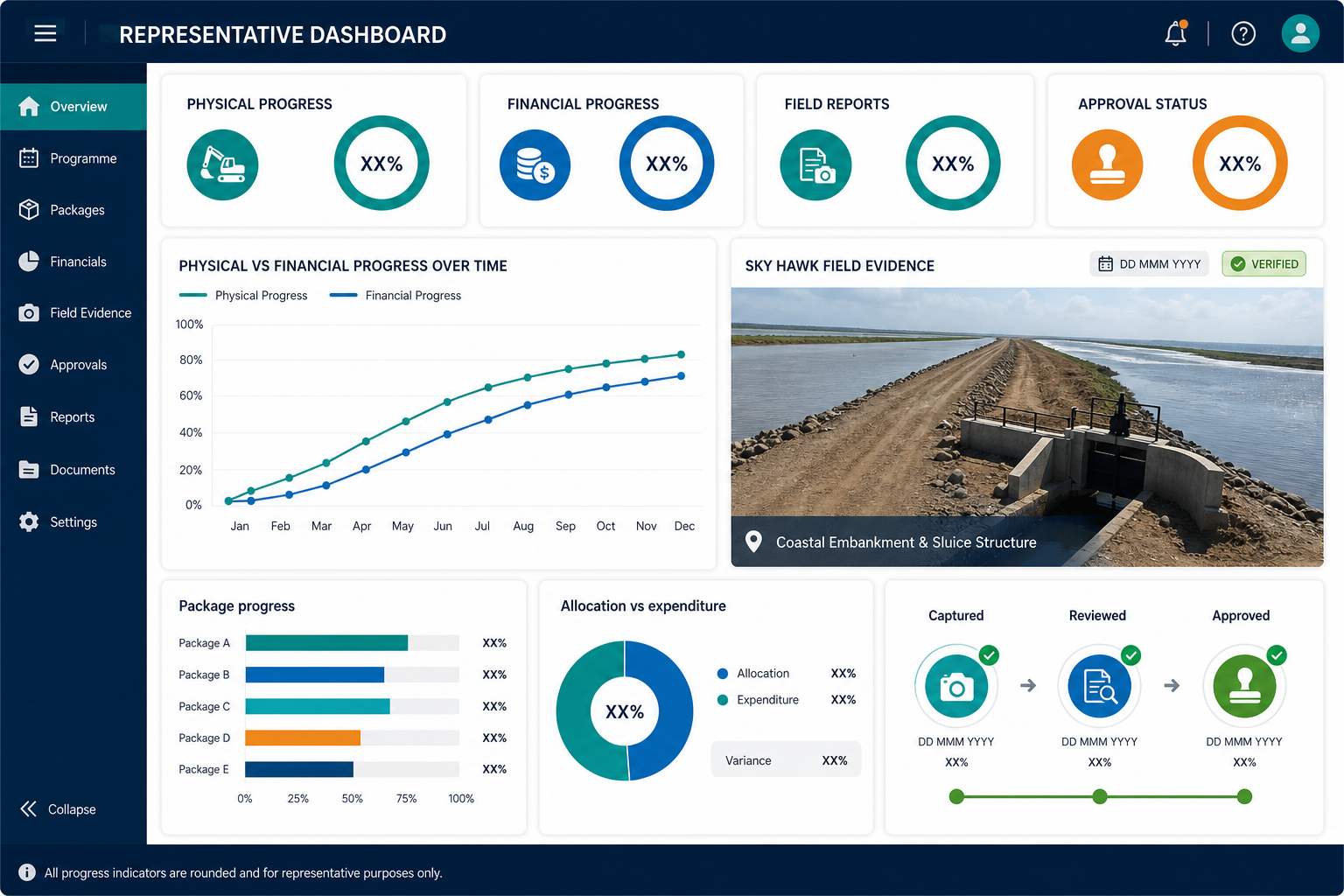
Track package progress over time and compare reported completion across the programme.
View allocation and expenditure alongside physical delivery, making gaps easier to investigate.
Display the geotagged, dated field photograph behind a progress submission—not only the percentage.
Surface package trends, exceptions and the captured-to-reviewed-to-approved workflow in one view.
The advantage
Every progress figure is backed by a geotagged, dated field submission, reviewed and approved before it becomes the record.
Package-level physical and financial status sit side by side, instead of arriving from separate reports.
Source code, database design and documentation were handed to BWDB in full, so the system is BWDB's to keep and extend.
Built to extend
The system for Polder 39/2C was designed to be upgraded to the programme's other nine polders across both implementation packages, without a redesign.
Package-1's four polders and Package-2's other five were already accounted for in the original system design.
The same Tiger One reporting layer used elsewhere can turn accumulated progress and safeguard records into programme-wide trend views.
The same Tiger One and Sky Hawk foundation now supports field monitoring for other government agencies and city corporations.
This case study describes the CEIP-1 ICT Monitoring System as delivered software, grounded in the programme's published scope. No confidential data or internal system screens are reproduced here.
The hero is an AI-generated representative polder scene, not a photograph of the CEIP-1 site. No confidential operational data or contract value is reproduced.
One polder, proven. Nine more to go.