Distributed works
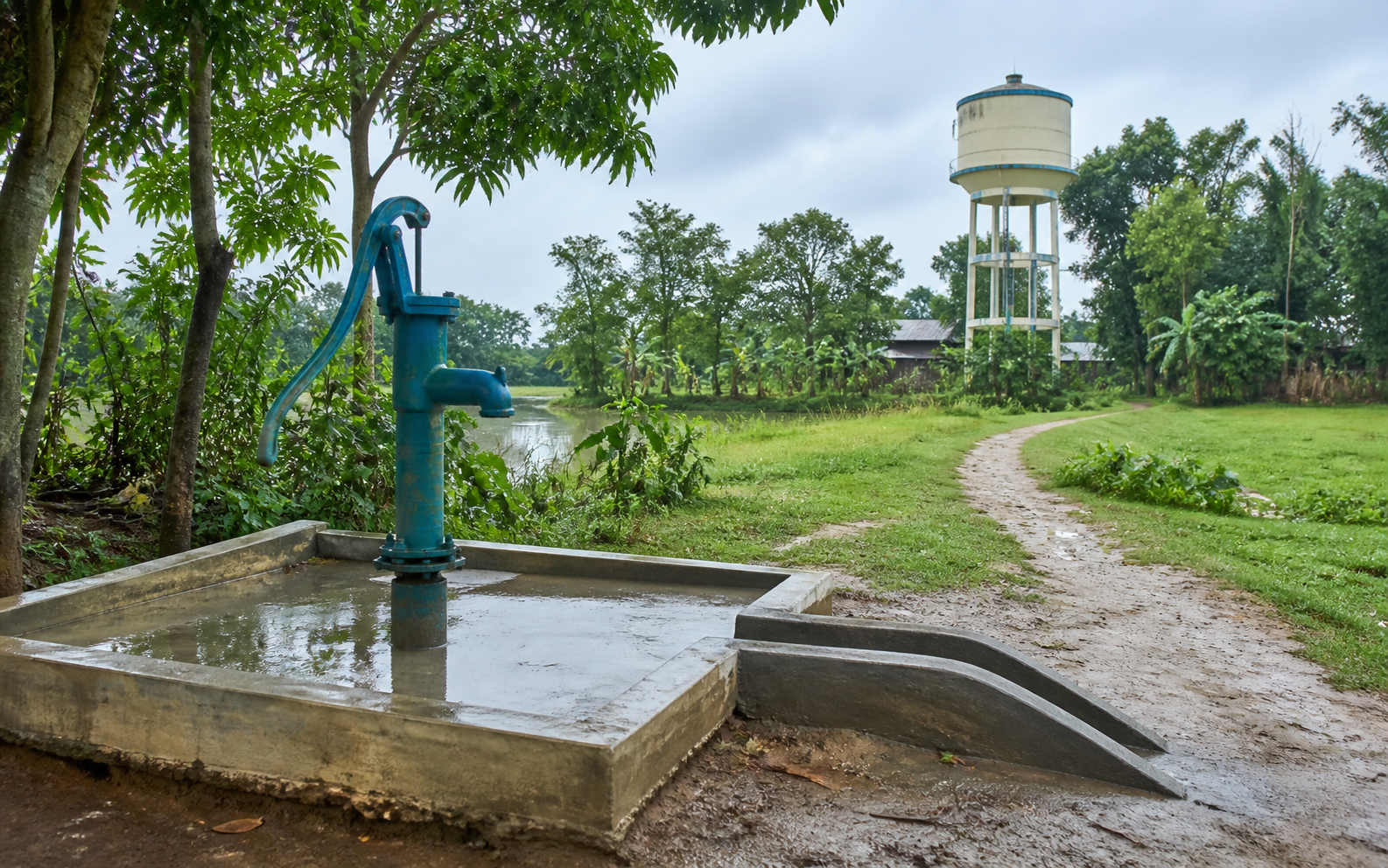
Tube wells and community water-supply infrastructure were installed across many locations.

 Representative visual
Client case study · DPHE
A field monitoring system supplied by Tiger Park Limited helped DPHE connect installed infrastructure, technical records, photographic evidence and digital handover—creating a trusted basis for project oversight and contractor payment.
For a distributed water-supply project, progress could not be understood through summary claims alone. The Project Director needed a dependable view of what had been installed, where it was located, what technical records supported it, and whether field evidence justified handover and payment.
Tiger Park Limited supplied the digital system used to monitor delivery, verify field evidence and support handover and contractor-payment decisions. This is a DPHE project enabled by Tiger Park technology—not an internal Tiger Park initiative.
Challenge
Tube wells and community water-supply infrastructure were installed across many locations.
Asset details, bore logs, water-quality reports, images and handover information had to stay connected.
Project leadership needed a practical way to verify reported delivery before contractor payments.
Solution
The system, deployed around 2020 using earlier versions of what later became Tiger One and Sky Hawk under different product names, brought field and project information into a connected review workflow.
Installed source details, location and status
Water-supply infrastructure and pipe-network evidence
Depth-wise subsurface and construction records
Field and laboratory test results linked to sources
Field images connected to the reported asset
Structured certificates completing the delivery record
Proven impact
Project leadership could inspect field data and photographs without relying only on narrative progress reports.
Digital certificates sat alongside the underlying source and infrastructure records.
The delivery workflow accumulated close to 600,000 water-source records rather than producing a one-time project archive.
Data assets
Each record type adds a different analytical dimension. Together, they can connect place, infrastructure, subsurface conditions, water quality, evidence and delivery history.
Illustrative analytical concepts—not maps, measurements or conclusions derived from DPHE data.
Future potential
The next phase is not simply another dashboard. It is a governed analytical layer that standardizes, validates and connects the historical dataset so planners and technical teams can ask better questions.
Combine source locations, yields, depth, geology and quality to reveal where different groundwater options are most promising.
Compare places and periods to identify clustering, coverage gaps, changing conditions and recurring risks.
Explore contaminant patterns and relate results to geography, source type, depth and season.
Transform depth-layer records into comparable subsurface profiles and regional hydrogeological evidence.
Match local conditions to suitable water-supply technologies using accumulated project evidence instead of isolated records.
Assess completeness, units, location quality, duplicates and coding consistency.
Connect sources, bore logs, quality results, images, schemes and time.
Develop spatial, geological and quality analyses with domain specialists.
Publish governed maps, trends and technology-selection guidance.
From evidence to foresight