Evidence was spatial
Aquifer conditions, water quality and river potential needed to be understood at the location where a source was being considered.

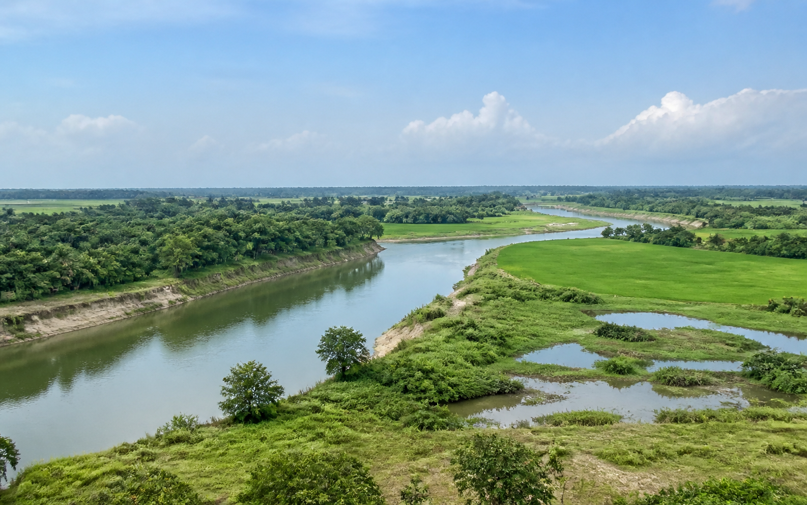 AI-generated representative scene · not a project-site photograph
Client case study · DPHE · PICMaC
A public GIS decision-support interface brings groundwater, surface-water, water-quality and feasibility evidence together—helping planners screen source options before detailed investigation and design.
Groundwater depth and quality, aquifer conditions and perennial-river potential vary sharply across Bangladesh. Planning teams therefore need a common way to see what may be preferable, possible, difficult or not yet explored in each location—and why.
The Water Resources Potential Map translates technical criteria and source data into an accessible geographic interface. It supports screening and planning while keeping final decisions subject to appropriate field investigation, testing and engineering review.
The planning challenge
Aquifer conditions, water quality and river potential needed to be understood at the location where a source was being considered.
A source could be feasible only at a particular depth, with a specific technology or after additional investigation.
Not explored, no-data and not-feasible areas had to remain visible so uncertainty was not mistaken for potential.
The digital solution
Users select a division, district and upazila, switch among water-resource layers, interpret the potential classes and then review the evidence table that informs evaluation and technology guidance.
Division, district and upazila filters focus the map on the planning area.
First aquifer, second aquifer and river views let teams compare different water-resource pathways.
Preferable, possible, less possible, difficult, not feasible, not explored and no-data areas remain visibly distinct.
Aquifer boundary, groundwater level, grain size and depth-to-bottom contours add hydrogeological context.
Iron, arsenic and chloride statistics sit beside the mapped groundwater evaluation.
Technology options, constraints, recommendations and indicative tubewell-depth ranges turn evidence into a planning conversation.
The public interface
The legend distinguishes potential and uncertainty, while the tables expose the technical fields behind the classification. Layer controls, map export and an on-screen tour help users navigate the evidence.
Explore the public map ↗Planning value
Teams can narrow plausible source pathways before commissioning detailed site work.
Potential classifications sit beside the constraints, measurements and recommendations that shape them.
Central and local teams can discuss locations through consistent classes and evidence fields.
Data gaps and unexplored areas are explicit, helping direct future investigation rather than implying false certainty.
Future potential
JICA’s follow-on project documents note that water-resource potential changes over time and that data gaps require continued collection and regular updates. A governed digital platform creates the foundation for that next stage.
Add new investigations and field observations through a governed update cycle so the map evolves with conditions.
Connect mapped potential with installed-source inventories, bore logs, water-quality history and serviceability records.
Track groundwater level, salinity and water-quality change over time to identify emerging risk areas.
Compare recommended technologies with delivery cost, performance and long-term functionality to improve future selection rules.
Public references
The public map is a planning and screening aid. Site-specific water-source decisions still require the investigations, water-quality testing and engineering review appropriate to the location and technology.
Make evidence usable