Dispersed road conditions
Flood-related impacts may be reported from many road sections, often while access and conditions are changing.

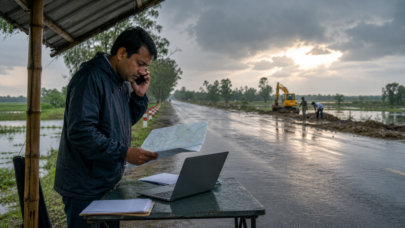 AI-generated representative scene · not a project-site photograph
Client case study · Roads and Highways Department · Flood damage assessment
RHD can use Skyhawk to collect photographs and structured flood-damage updates, then review the governed record in ONERHD on TIGERONE. Naya can assist the decisions and follow-up that turn field evidence into response coordination.
During flood conditions, road damage and access constraints can emerge across a dispersed network. Field teams need a fast way to document what they see, while supervisors need enough location and evidence context to understand the reported condition, prioritize attention and coordinate an appropriate response.
This public case study is intentionally high-level. It does not disclose road names, chainage values, GPS coordinates, photographs from live operations, damage records, traffic conditions, personnel details, internal screens or response plans.
Challenge
Flood-related impacts may be reported from many road sections, often while access and conditions are changing.
A photograph or message without a road, chainage or location context can be difficult to review and act upon quickly.
Response managers need reliable field context without making reporting burdensome for teams working in difficult weather.
Solution
Skyhawk gives field teams one structured submission for the road condition they observe. Tiger One makes the resulting records available for supervisory review, prioritisation and coordinated follow-up.
Skyhawk can associate a field report with the relevant road and its chainage reference, helping reviewers understand where the reported condition sits on the network.
Field teams can attach photographs to document the observed condition and provide useful context for supervisory review.
A GPS capture can support the location record, helping validate that an update relates to the reported road section without relying on an informal description alone.
Consistent forms guide teams to record the type of flood-related condition, observed impact and recommended follow-up in a usable format.
Submitted updates can be reviewed by responsible teams so urgent situations and follow-up needs are visible in one operational queue.
Skyhawk field reports can support a traceable pathway from observation to review, action planning and later reporting.
The advantage
Photos, road references, chainage and GPS context help make an update more useful than an isolated image or message.
Reviewers can see the reported condition alongside its structured location context, helping them assess what needs attention.
Recorded submissions, review status and follow-up actions provide a traceable operational pathway from field observation to coordination.
The public case study excludes all live operational details, including road identities, precise chainage values, GPS coordinates, field photographs, damage severity, accessibility status, response assignments, personnel information and internal reporting outputs.
Field evidence for resilient roads.