Dispersed planting activity
Plantation takes place across a distributed road network, making it difficult to see the overall picture through individual reports alone.

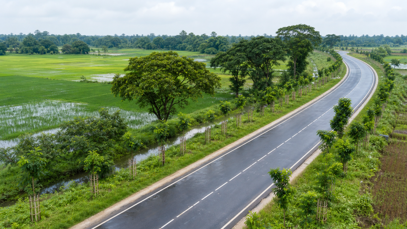 AI-generated representative scene · not a project-site photograph
Client case study · Roads and Highways Department · Roadside tree plantation
RHD uses ONERHD, its TIGERONE-based operating environment, for roadside plantation oversight. Skyhawk captures field evidence, while Naya can assist the management decisions that keep the green-corridor record useful over time.
Roadside tree planting contributes to a greener, more resilient road environment, but the value depends on the ability to understand where planting has occurred and what needs attention afterward. RHD needs a practical record that connects planting activity to the road network and can support monitoring over time.
This public case study describes verified system capabilities at a functional level. It does not publish plantation records, road identities, precise locations, species counts, planting quantities, live maps, field photographs, personnel details or internal screens.
Challenge
Plantation takes place across a distributed road network, making it difficult to see the overall picture through individual reports alone.
A planting photograph is useful in the moment, but has limited long-term value if it is not attached to a structured record.
Young trees need attention, survival checks and sometimes replacement; a programme needs continuity beyond the first entry.
Solution
Skyhawk supports field capture where planting and monitoring take place. ONERHD brings the resulting entries into a shared, searchable and map-ready management record for review and follow-up.
RHD can create a structured plantation record rather than leave planting activity in disconnected reports or photographs.
Entries can be connected to the relevant road area and local administrative context, making roadside planting easier to locate and review.
The workflow provides a consistent place to record planting characteristics, including tree species and the related planting information.
A map-ready view helps teams understand the geographic distribution of plantation activity across the road network.
Field teams can use Skyhawk to capture supporting observations and photographs at the planting location for later review.
The record can support future visits, care activity, survival checks and replacement planting rather than treating planting day as the end of the work.
Map presentation
As field engineers enter and synchronize plantation updates in Skyhawk, the current field record can inform complementary ONERHD presentation views. This gives managers a more immediate way to understand the relationship between planting activity and the road corridor, while field verification remains part of the governed workflow.
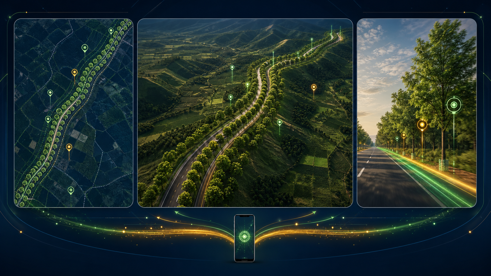
A 2D view supports a clear overhead understanding of current recorded planting sections along a selected road corridor, helping teams compare the geographic pattern of field updates.
A 3D presentation can make the current plantation story easier to communicate by showing the corridor as a spatial environment rather than as a list of records alone.
A guided tour can follow the corridor at road level, allowing a reviewer to move through field-entered planting sections in sequence and gain a more intuitive sense of continuity.
Public illustration only. The live ONERHD map, road selection, planting sections and operational details are not shown on this website.
The advantage
A shared register and map-ready view help RHD understand the distribution of roadside plantation activity.
Field observations and photographs can stay connected to the relevant planting record, rather than being lost in separate channels.
Structured records create a foundation for monitoring, care, survival checks and replacement planting as the trees establish.
This case study excludes live system data and sensitive operational details, including specific road locations, planting entries, species lists, quantities, dates, maps, field photographs, staff information, contractor information and internal performance reporting.
A greener road network, on one record.